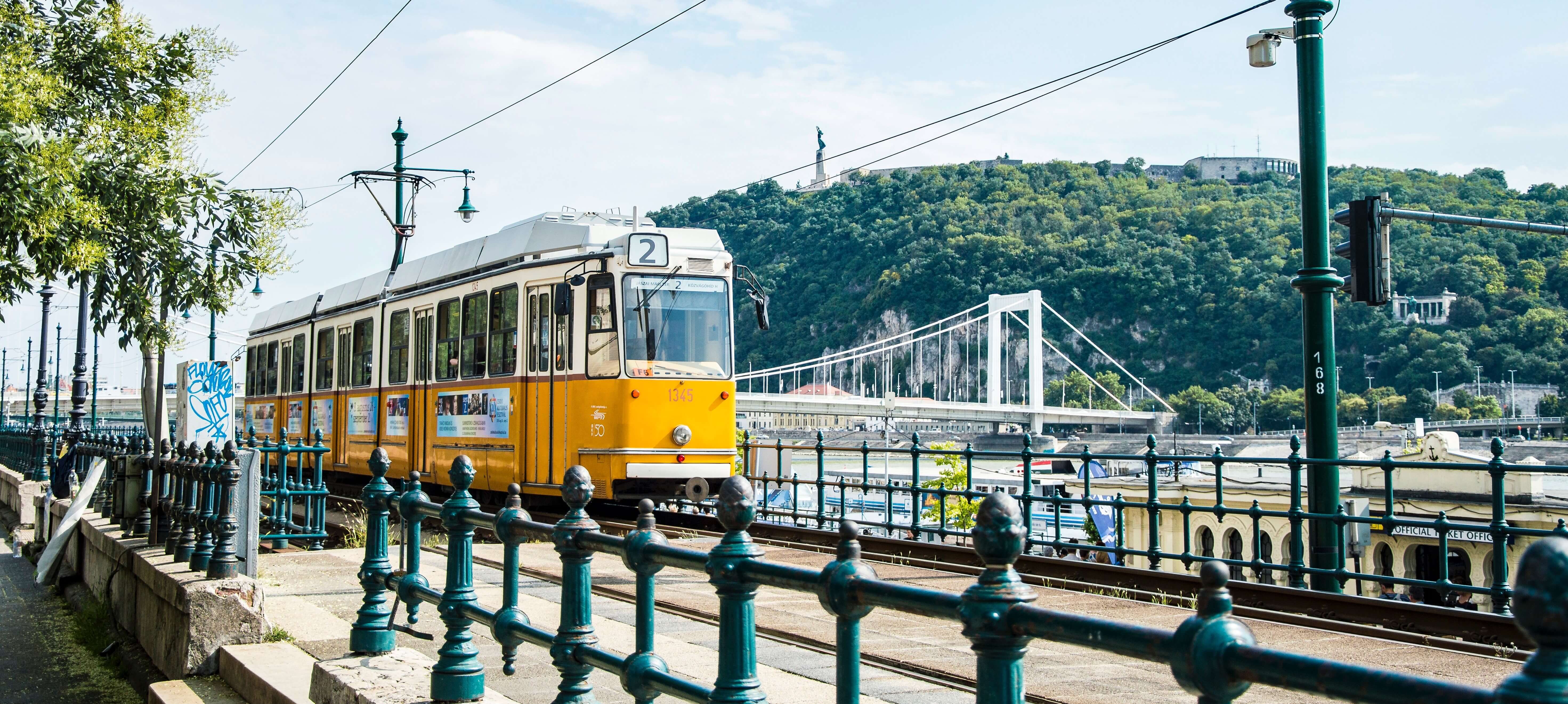
Budapest, Hungary
Budapest is the capital of Hungary and its largest and most populated city. Its name comes from two towns – Buda and Pest – which, together with a neighbouring Óbuda, merged into one city in 1873. In 2008 the city approved the Budapest Transport System Development, which focused mainly on upgrading and further developing its car network. In recent years, however, transport measures in Budapest have focused on shared and active mobility modes, including the expansion of the metro system, the pedestrian zones in the downtown area and the city's bicycle infrastructure.
Budapest's REALLOCATE twin city: ZAGREB
LAB 1 - Introducing 'Healthy Superblocks'
Location: District VIII
Due to Budapest's major stock of old diesel-fuelled vehicles, the city struggles with pollution and needs to significantly reduce car traffic in 23 districts, many of which are interested in testing the concept of Healthy Superblocks.
The implementation will merge two previously pioneered concepts - the ‘Superblocks’ in Barcelona and ‘Healthy Streets’ in London - under a different socially, financially, and demographically Eastern-European context, serving as an example for other cities in the region.
During the pilot, the city will test these Superblocks by reorganising the traffic system to provide better accessibility for active modes of travel in the low income and densely built District VIII. The aim is to reduce air pollution, create new green areas and improve accessibility to them, transform impermeable surfaces to permeable ones and improve road safety in particular for vulnerable road users.
LAB 2 - Peri-urban traffic safety
Location: Peri-urban areas
Peri-urban areas in Budapest are less dense and have a different rhythm (e.g. less mobility hubs) than downtown areas, but because daily commuting of many people starts in these areas, citizens are vulnerable in terms of traffic safety. The pilot aims at calming traffic, shifting the modal split in peri-urban areas and creating safer and more reliable roads and transport nodes, all in accordance with the city's Cycle Traffic Network Plan. The team will carry out the pilot in two phases:
- A planning and monitoring phase, consisting of speed monitoring stations paired with other smart camera devices and traffic detectors to collect a large amount of data and localise conflict points and times. This will inform real time data on travel times, Mobility as a Service, and contribute to the development of targeted traffic calming and a road safety intervention package. Monitoring and modelling air and noise pollution will be tested at intersections.
- An intervention phase will focus on finding solutions based on data from the monitoring phase and AI algorithms. The solutions may include lower speed limits enforced in designated areas supported by urban road signage, street profile adaptation along with dynamic reallocation of spaces (e.g. testing electric bus or bike lanes), smart crossings, smart speed radar displays, adaptive traffic lights or creating measures for nudging behavioural change.
This project has received funding from the European Union’s Horizon Europe programme under grant agreement No. 101103924. Views and opinions expressed are however those of the author(s) only and do not necessarily reflect those of the European Union or the European Commission. Neither the European Union nor the granting authority can be held responsible for them.
REALLOCATE is a project under the CIVITAS Initiative, an EU-funded programme working to make sustainable and smart mobility a reality for all, and contributes to the goals of the EU Mission Climate-Neutral and Smart Cities.